When it comes to teaching children about geography, a world map for kids is one of the most valuable tools in any educational setting. Whether used in schools, homes, or online platforms, these maps provide an engaging way for children to discover the world around them. By offering a visual and interactive learning experience, world maps help kids understand complex geographical concepts, from countries and continents to oceans and landmarks. This article explores how world maps can be a fun, educational resource that encourages kids to explore geography in an engaging way.
Why Are World Maps Important for Teaching Geography?
World maps are more than just colorful illustrations of the Earth’s surface; they serve as foundational tools for teaching geography to children. A map can be the gateway to a child’s curiosity about different countries, cultures, and natural features. They offer a visual representation that makes abstract concepts like distances, locations, and political boundaries much easier to grasp.
For kids, learning about geography can often feel like trying to understand a huge, unfamiliar puzzle. A world map helps break that down into smaller, manageable pieces. By pointing out continents, oceans, and countries, children begin to form a mental picture of the world and its geography. Interactive maps, in particular, allow children to explore and learn by actively engaging with the content, fostering both curiosity and critical thinking skills.
Using a world map is an effective way to introduce children to basic geographic concepts. It helps them understand where they live in relation to other countries and continents, providing context for their own place in the world. Teachers and parents can use the map to initiate discussions about global cultures, environmental issues, and world history, making learning more comprehensive and connected to real-world events.
How Can World Maps Be Made Fun and Interactive for Kids?
For many children, geography can feel like a dry and distant subject. To keep them engaged, it’s crucial to introduce world maps in a fun and interactive way. Fortunately, there are numerous ways to make maps more enjoyable and approachable for younger audiences.
One of the best ways to engage kids with world maps is through interactive games. Many online educational platforms now offer digital world maps that come with quizzes, puzzles, and challenges that can make learning feel like a game. These platforms use interactive features like clickable countries, drag-and-drop puzzles, and animated content to make the map come to life. Kids can test their knowledge by identifying countries, capitals, or landmarks, which makes the learning process feel dynamic and exciting.
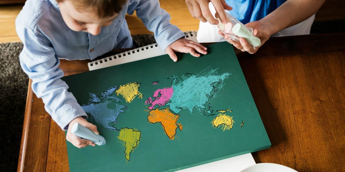
Additionally, physical world maps, especially scratch-off maps or colored maps, are a hit with young learners. These maps often include fun, colorful illustrations of animals, monuments, and other thematic visuals that relate to each region of the world. Kids can also use stickers or markers to identify places they’ve learned about, creating a hands-on, personalized map of their own.
Parents and educators can also encourage storytelling with maps. For example, they can ask kids to imagine they are explorers or adventurers and use the map to “travel” to different countries. This approach helps children engage emotionally with the content, making the world feel like a place full of stories and adventures. In this way, world maps aren’t just educational—they also spark the imagination.
What Are the Key Features of a World Map for Kids?
When selecting a world map for children, there are several key features to look for that will make it both educational and enjoyable. A good world map for kids should be visually appealing while also providing accurate and age-appropriate information.
Bright Colors and Clear Labels: A map that uses bright, contrasting colors can capture a child’s attention while making it easier to differentiate between countries and continents. Large, clear labels for countries, capitals, and landmarks will help children quickly identify key locations.
Simplified Layout: Since kids are still learning basic geography, a world map designed for them should have a simple layout that isn’t too overwhelming. Fewer details and a clean, uncluttered design help kids focus on the essential information, such as country names and major bodies of water.
Interactive Features: As mentioned earlier, interactive maps are a great way to keep children engaged. Maps that allow kids to click on different regions or play games while learning are incredibly effective. Some maps even include pop-up facts about the geography, culture, and wildlife of each area.
Educational Themes: Many world maps for kids include additional educational features, such as pictures of animals native to each region, famous landmarks, or fun facts about different cultures. These themes make the map more engaging and provide context for the geography being learned.
Adaptability: The map should be suitable for a variety of learning levels, from young children just starting to explore the world to older kids who can handle more detailed information. For instance, a map that grows with the child—starting with basic outlines and later expanding to include more intricate details like time zones, geographical features, and political borders—can be a great investment for long-term use.
How Can World Maps Foster Global Awareness in Kids?
One of the most significant benefits of teaching kids about geography through world maps is the opportunity to foster global awareness. By learning about other countries, cultures, and geographical regions, children gain a broader perspective on the world. A world map encourages curiosity about global issues such as climate change, world history, and the importance of cultural diversity.
When children engage with a world map, they are not just memorizing locations—they are developing an understanding of the interconnectedness of countries and continents. They start to see how events in one part of the world can impact other regions, whether it’s through trade, culture, or politics. This understanding can shape their worldview and create more open-minded individuals who appreciate and respect different cultures.
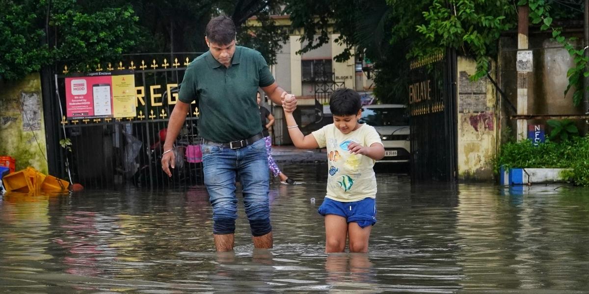
World maps also provide a powerful tool for parents and educators to teach about important global issues. For example, educators can highlight regions affected by natural disasters, discuss the geography of endangered species, or even use maps to track global events. This kind of global learning helps children become informed citizens who understand the world beyond their own borders.


